Biology department researchers are studying the effects of climate change and rising sea levels on dying trees.
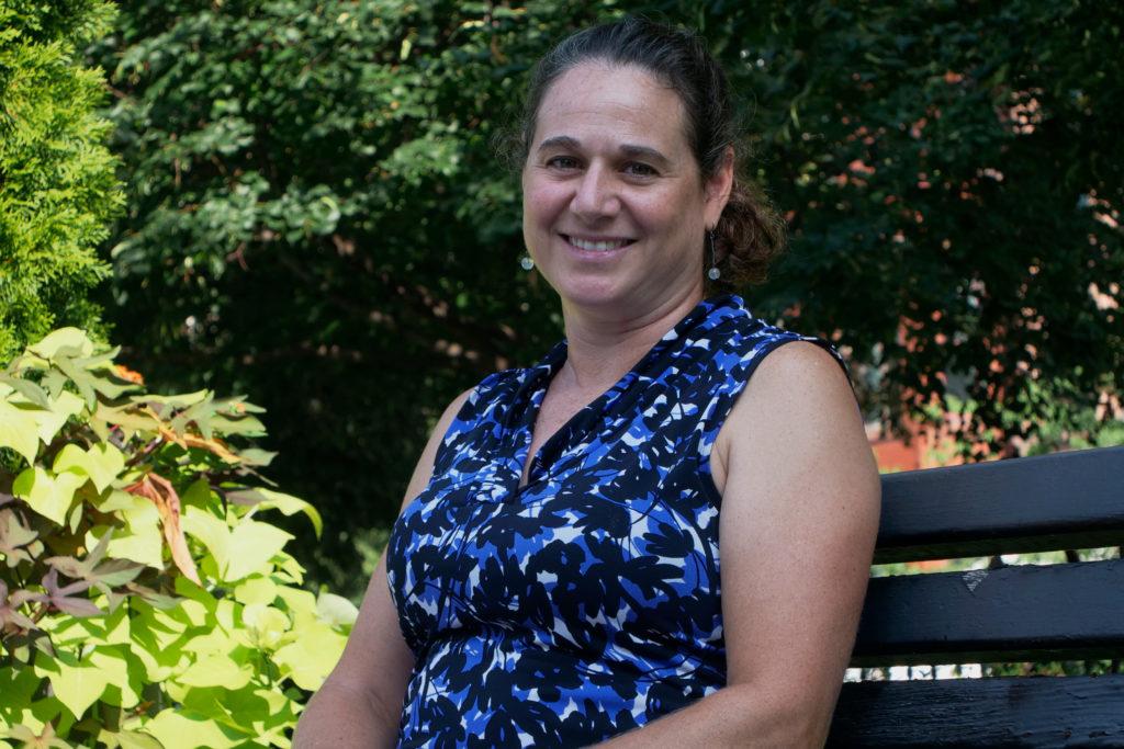
Keryn Gedan, an assistant professor of biology and the study’s lead researcher, said the project will culminate with an online map showcasing all the ghost forests on the East Coast to raise awareness about the impact of rising sea levels. Volunteers with the department’s Gedan Coastal Marine Ecology lab, which studies wetlands, will take and upload pictures of “ghost forests” – low-lying trees that have been bleached by higher tides and salt stress along the East Coast.
Gedan said the project’s research will lean on citizen scientists – volunteers who can help collect data, even without experience in scientific research.
“Ghost forests are really iconic places to observe climate change,” Gedan said. “Our objective with the citizen science project is both to document where they are occurring for scientific research but also to engage people with sea level rise and the processes occurring with sea level change.”
Gedan said citizen scientists have recorded 30 entries so far, including pictures of dying trees and written observations, and she hopes to grow the number of entires. The project started last October and will continue as long as it receives entries and continues to engage volunteers, she said.
The project is posted on SciStarter – a database that posts projects conducted by citizen scientists – to recruit volunteers for the project, and the map featuring all the pictures and observations that citizen scientists gathered is also posted online.
She said the citizen scientists use Survey123, an online form with questions asking things like the species of trees present, the date of observation and the geographic location of the ghost forest, to record their data. Data also includes observations like the “speed of changes observed” in the dying forests, which volunteers can describe as fast or slow, and the “dominant tree species” like pine trees, according to the project’s website.
“All the citizen scientists need is a phone with a camera,” Gedan said. “They can upload the survey on their phone, and they can also look at our ghost forest webpage on their phone.”
Gedan said ghost forests appear most frequently in coastal regions like the East and Gulf coasts due to the damaging effects of rising sea levels and salt water intrusion. They consist of groups of dead trees whose trunks remain standing and have been bleached white by the sun, she said.
She said scientists have found some traces of ghost forests in Canada and in Florida, but her research will “fill in the map” with the more prominent forests along the East Coast. She hopes her research will allow scientists to study previously undocumented areas to highlight variation between locations.
“We also think we may be able to identify the factors that kind of determine where a ghost forest will occur based on where they are today in terms of the topography or slope of the coastal zone, the type of trees that are there and their proximity to the coast,” Gedan said.
Ezra Kottler, a doctoral student in the biology department who studies the migration of marsh plants into these dying forests for the project, said the researchers are using environmental data like soil salinity and precipitation to understand why vegetation is dying off in coastal forests. They said their team also examines whether invasive or native species will take over the area once all the trees in a ghost forest die, determining which would create a more biodiverse habitat.
Kottler said the main incentive for this project is to remind volunteers and readers of the online map that climate change is occurring, and rising sea levels and dying trees are just a few signs of global warming worsening.
“It helps remind people that climate change isn’t this far off future thing,” Kottler said. “It’s happening here and now, and it’s affecting our coasts as well as people who live there.”
Elliott White, Jr., a post-doctoral research associate at the University of Virginia’s environmental sciences department, said using volunteers will increase the amount of ghost forest data available to researchers, especially because scientists may struggle to access all geographical locations. He said the volunteers will help widen the geographic range of ghost forests that researchers can record and motivate volunteers to learn more about the dying trees around them.
“Those citizens can be kind of our eyes and ears with the rest of the world, and they can identify locations that we didn’t know about or we don’t have time to get out to,” White said. “So it’s a great way for scientists to engage with the public, the public to engage with scientists and there’s kind of a mutual exchange of information.”
White said people who look at the online map may be motivated to go out and see one of these ghost forests first-hand if they see that one is close to where they live.
“That person may be motivated to go out there and look at it themselves and get educated, and then they may become advocates for understanding ghost forests,” White said. “Now they’re kind of doing the legwork of sharing the knowledge.”


